
僕は一時期、長崎から神戸へ毎週のように飛行機で通っていたことは前に描きましたが、その時の空撮写真を載せます
It was drawn at the front that I commuted from a time and Nagasaki to Kobe by airplane like every week, but I put that case's aerial photography picture.

午前中にフライトだったのでまず明石海峡大橋が見えるのが嬉しかった
It was a flight in the morning, so I was happy to see Akashi Strait Bridge first.
六甲山脈が見え始め、街の全体の様子が見えてくる、浜辺は須磨海浜公園あたりでしょうか?
He begins to see the Rokko-san pulse and is seeing the whole sign in the town per Suma seaside park?

次の写真は長田区あたりでしょうか、飛行機は神戸空港へのアプローチ体制です
Is the next picture per Nagata-ku, an airplane is an approach system to Kobe-Airport.

次の写真は左端に私が働いていたビルがあって、元町、三ノ宮方面です、このあたりの港が神戸の顔と言うべき場所でしょう。
There is a building where I was working in the left end, and the next pictures are Motomachi and Sannomiya district, a harbor around here will be the place which should be called Kobe's face.

いよいよ神戸空港へタッチダウンです
It's touchdown increasingly to Kobe-Airport.

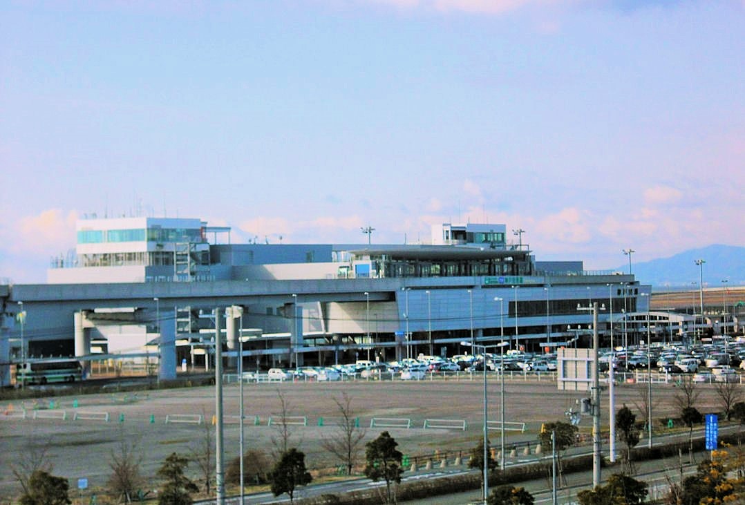
ポートアイランド線に乗って市街地へ向かいます、写っているのは神戸空港のターミナルビルです。
I take Port Island line, and it's the terminal building where it's Kobe-Airport to downtown.
スカイブリッジからは明石海峡大橋が良く見えます
Akashi Strait Bridge looks good from the Sky bridge.
